Multiband Zonal Stats

A QGIS Processing plugin for producing tidy zonal-statistics CSV files from multiband rasters and polygon or multipolygon layers.
Overview
Multiband Zonal Stats summarises a multiband raster over the polygons of a vector layer and writes a clean CSV. It is purpose-built for multiband rasters — processing every band in one pass, something QGIS's own zonal-statistics tools do not do.
Instead of re-reading the raster once per polygon (the slow, classic pattern), it reads the raster in bounded tiles and aggregates every zone and band together with NumPy — so the work scales with the raster area touched, not with polygons × bands.
See it in action
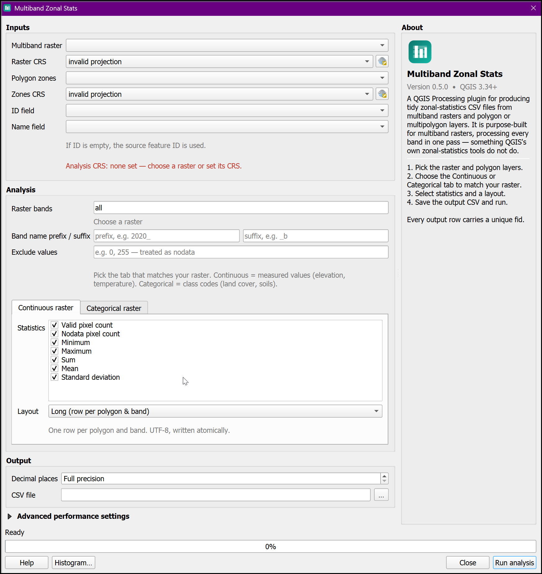
The dialog: continuous/categorical tabs, exclude values, decimal places, a live histogram preview, and an About panel.
Key features
-
Multiband, one pass
Every selected band aggregated together — no looping the tool per band.
-
Continuous statistics
Count, nodata, min, max, sum, mean and population standard deviation.
-
Categorical statistics
Majority, minority, variety, class breakdown, and class-count columns.
-
Histogram preview
See any band's distribution before running — binned or per-class.
-
Exclude values
Drop pixel values like
0(out-of-boundary) as extra nodata. -
Fast & bounded
Tiled reads, bounded memory, correct handling of overlapping zones.
Quick example
A categorical land-cover raster over two districts, in the class-counts layout:
fid,polygon_id,polygon_name,band_index,band_name,class_1,class_2,class_3,class_4
1,101,North,1,landcover,4,4,5,3
2,102,South,1,landcover,7,4,1,4
Every row starts with a unique fid, and the columns are the union of classes across all zones.
Getting started
Ready to summarise your rasters?
Get Started Installation Guide
Requirements
- QGIS version: 3.34 or higher (runs on QGIS 3.34 – 4.x from one code path)
- Raster source: file-based (GDAL) — export WMS/tiled layers to GeoTIFF first
- Dependencies: none beyond the GDAL and NumPy that ship with QGIS
Support
Found a bug or want a feature? Open an issue on GitHub.